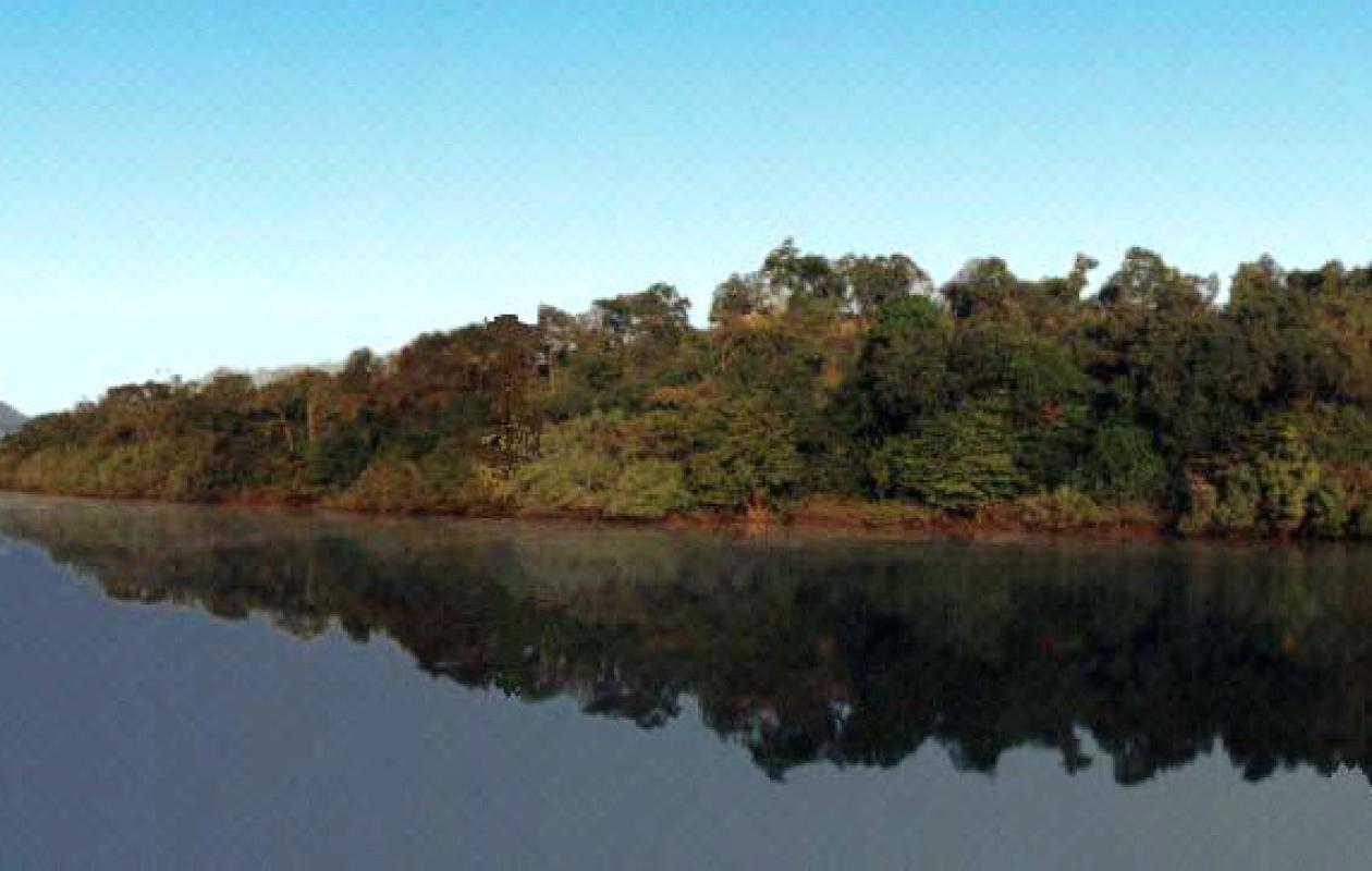
Bassin du fleuve Gambie : une tendance générale à la baisse des niveaux d’eau
The Tambacounda Water Resources Brigade published its daily hydrological bulletin on the situation of the Gambia River and its tributaries on August 27, 2025. The readings show a general downward trend in water levels, although the measurements remain well below alert thresholds.
Tributaries under surveillance
At the level of the tributaries, the Niokolo Koba station recorded a water height of 6.80 m, a decrease of 9 cm compared to the previous day, but significantly higher than at the same period last year (4.29 m).
In Diaguiri, the latest available reading from August 26 indicates 3.58 m, compared to 2.37 m on the same date in 2024.
On the other hand, the Thiokoye station (Afia Pont) shows an opposite situation, with only 1.74 m on August 26, compared to 3 m in 2024.
Other stations, such as Diahra Pont and Goumbayel, have not yet transmitted their daily readings.
The Gambia River is receding
On the main course of the river, the decline is widespread:
Levels below alert thresholds
According to the DGPRE, despite these observed drops, none of the current levels exceed the alert levels set for the various stations. However, the authorities reiterate the importance of vigilance and daily monitoring in order to anticipate possible flooding.
This bulletin, produced using readings taken by the region's hydrometric stations, is an essential prevention and information tool for the benefit of populations, local authorities and administrative authorities.


Commentaires (0)
Participer à la Discussion
Règles de la communauté :
💡 Astuce : Utilisez des emojis depuis votre téléphone ou le module emoji ci-dessous. Cliquez sur GIF pour ajouter un GIF animé. Collez un lien X/Twitter, TikTok ou Instagram pour l'afficher automatiquement.